Storm Amy to Become ‘Weather Bomb’ as It Barrels Toward UK
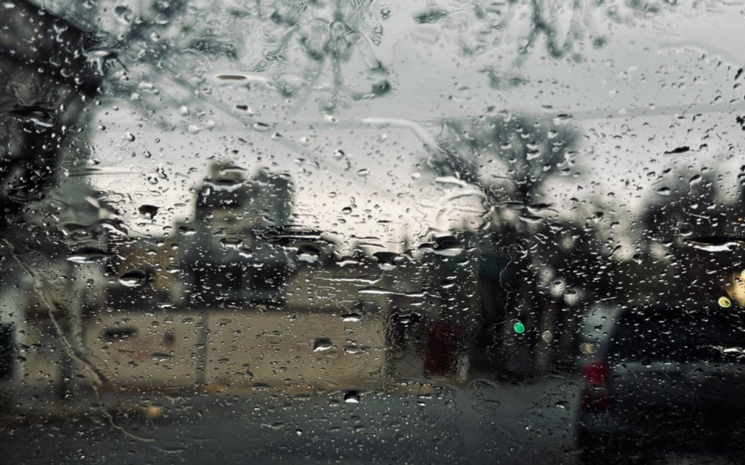
As the UK braces for its first major storm of the 2025/26 season, Storm Amy is rapidly intensifying and could become what scientists refer to as a ‘weather bomb’—a rare and explosive meteorological event known for bringing destructive winds, torrential rain, and coastal flooding.
According to experts, Storm Amy is forecast to deepen by 40 millibars in just 24 hours, far exceeding the 24-millibar threshold typically used to classify a weather bomb. This rapid intensification is being fueled by moisture from the remnants of Hurricane Humberto and driven by high-altitude jet streams that are accelerating air flow across the Atlantic.
What Is a Weather Bomb—and Why Is It Dangerous?
A weather bomb is a storm where the central air pressure drops dramatically—typically 24 millibars in 24 hours. Storm Amy is projected to drop by 40 millibars, making it a potentially life-threatening event.
Dr. Oscar Martinez-Alvarado, an atmospheric scientist at the University of Reading, explained:
“Due to how the air moves around the storm, not only circling around but also ascending, some of that moisture will become a considerable amount of rainfall.”
Combined with gale-force winds, this could cause widespread damage, especially in coastal areas, hills, and already saturated regions.
Severe Weather Warnings Issued
The Met Office has issued multiple weather warnings:
-
Amber Warning (Severe Impact):
🟧 In effect from 5pm Friday to 9am Saturday across northern and western Scotland.
Risks include travel delays, rail and road closures, power outages, and potential danger to life. -
Yellow Warning (Wind):
🟨 Valid from 3pm Friday to midnight Saturday for all of Scotland, northern & western England, and Wales.
Expected wind speeds: up to 70mph, with localized gusts of 95mph.
Impacts Across the UK: Flooding, Power Cuts, and Travel Chaos
Although the storm’s most direct path targets Scotland and the North, much of the UK will feel its effects. Even the South East may experience winds up to 50mph, along with heavy downpours.
Dr. Jess Neumann, a flood risk expert, warned:
“Storm Amy could damage buildings and infrastructure, lead to localised flooding, and cause severe travel delays—even in areas that haven't seen much recent rain.”
Areas with recent rainfall are particularly vulnerable to landslides and flash flooding. Dry urban areas may also see sudden surface flooding due to poor drainage.
Storm Amy Follows in Wake of Atlantic Hurricanes
Storm Amy's formation has been partially influenced by recent Atlantic hurricane activity. Although not a tropical cyclone, Amy has drawn in moisture and energy from Hurricane Humberto and Hurricane Imelda, which recently churned close together in the western Atlantic.
Climate Trends and Storm Naming
While there is no clear evidence that climate change is increasing the number of storms, rising sea surface temperatures are intensifying their severity, experts say.
Each storm season, the Met Office and partner agencies select storm names alphabetically. Amy is the first of the 2025/26 season, followed by:
Bram, Chandra, Eddie, Fionnuala, Gerard, Hannah, Janna, Kasia, Lilith, and others.
What You Should Do Now
-
Check flood risk using the UK government’s “Check for Flooding” tool.
-
Prepare an emergency kit with essential supplies and chargers.
-
Avoid unnecessary travel during peak warning periods.
-
Stay tuned to Met Office updates and local alerts.
🛑 Don’t underestimate the risk: Even dry areas can experience flash flooding from intense rainfall over short periods.
Storm Amy Timeline
-
Thursday Evening: Low-pressure system continues to deepen over the Atlantic.
-
Friday 3pm: Yellow warnings take effect across major parts of the UK.
-
Friday 5pm – Saturday 9am: Amber warning period with highest expected impacts.
-
Saturday Afternoon: Storm begins to move eastward, tapering off overnight.